
 Image 1 of
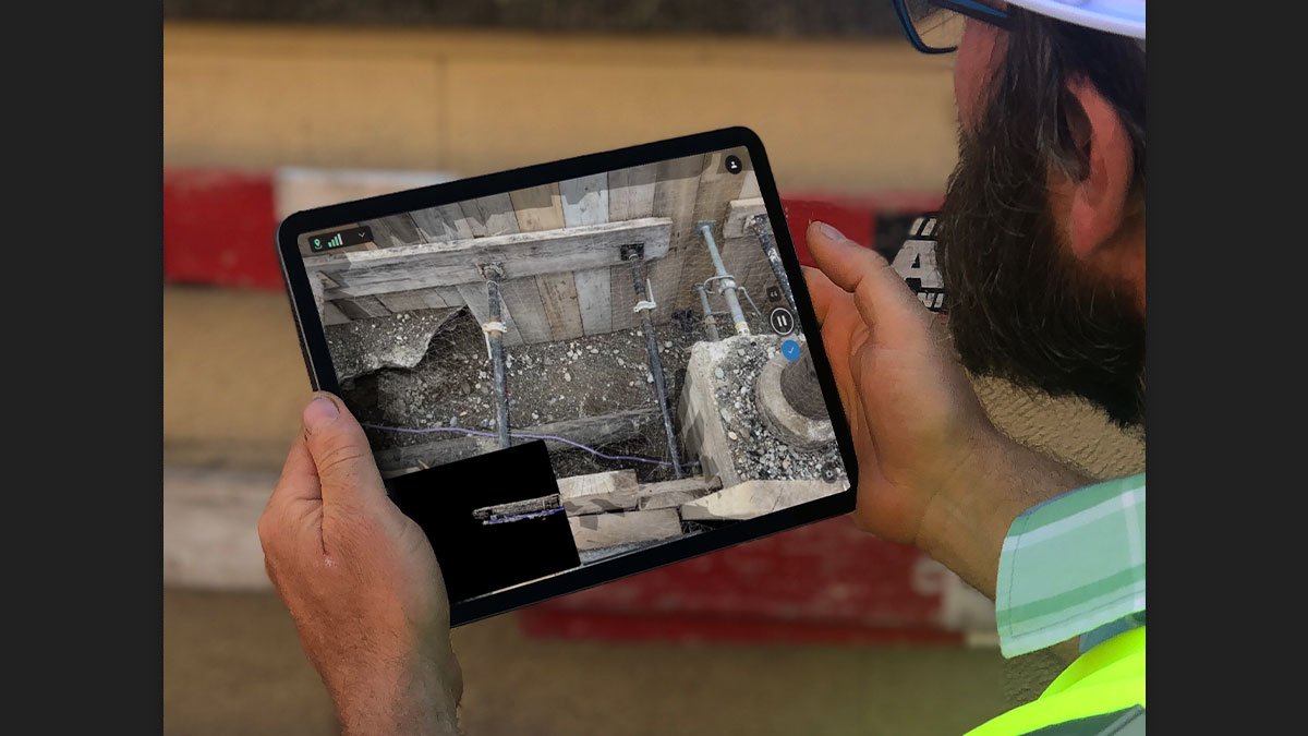
PIX4DMatic
A$0.00
Next-generation photogrammetry software for terrestrial, corridor and large scale mapping.
Available Now
Add To Cart


Accurate 3D maps and models from thousands of images
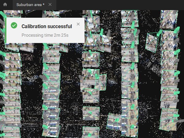
Fast processing
Handling and processing large amounts of data is easy with PIX4Dmatic. Get your results up to 50% faster, while keeping a survey-grade accuracy
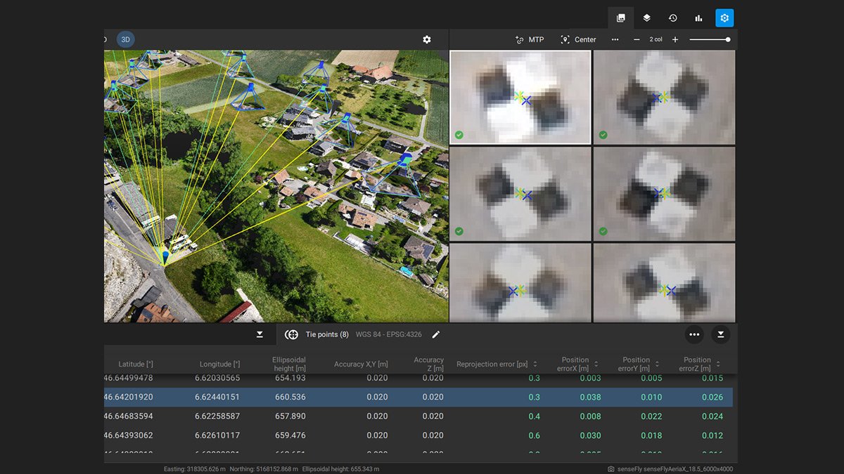
Easy accuracy checks
Ensure the accuracy of your project with GCPs, Checkpoints, or Manual Tie Points. Accuracy metrics are available in a dedicated tie points table and in an exportable quality report.
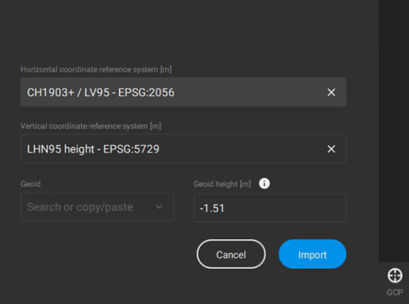
Vertical coordinate systems and geoid support
PIX4Dmatic supports the most frequently used vertical coordinate systems and their corresponding geoids.
Import from PIX4Dcatch
Process both LiDAR and RGB image outputs from PIX4Dcatch.
Fast development cycles
Updates are released every three weeks in a new preview or stable version, ensuring you get all the latest improvements and features.