
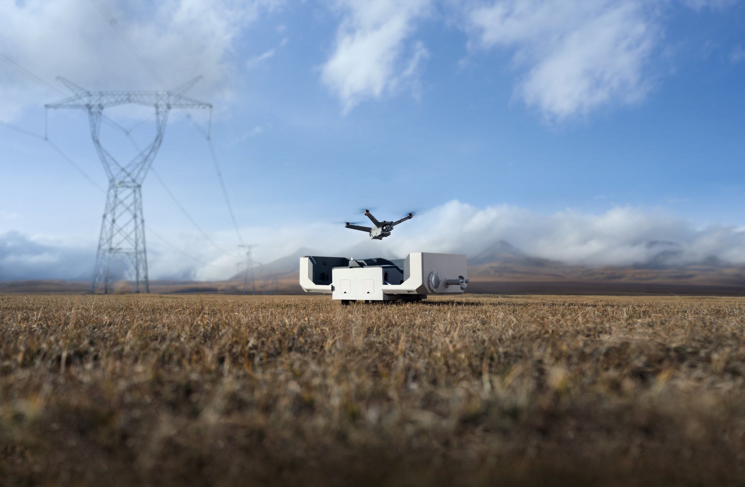
DJI Dock 2: A New Standard in Autonomous Drone Operations
The DJI Dock 2 revolutionises autonomous drone in-a-box operations. It is designed to surpass the efficiency of manual drone piloting and battery management for around-the-clock operations. Its seamless integration with DJI FlightHub 2 expands its capabilities and versatility, enabling fully automated charging, mission planning, and data processing. From mapping to surveillance, it redefines drone applications, catering to professionals and enthusiasts, and offering innovative, efficient, and scalable solutions.
DJI FlyCart 30: Revolutionising Delivery Drones With Enhanced Safety
The world’s largest drone maker DJI has now entered the drone delivery market with the DJI FlyCart 30 drone. It is designed to carry heavy payload and it offers a long-range. The drone carries up to 30 kg with two flight batteries on board, or up to 40 kg when used with one battery.
The drone features winch and cargo modes for added operational flexibility, and safety features such as terrain sensing, a built-in parachute, obstacle sensing radar, and FPV camera, making it a state-of-the-art delivery drone.

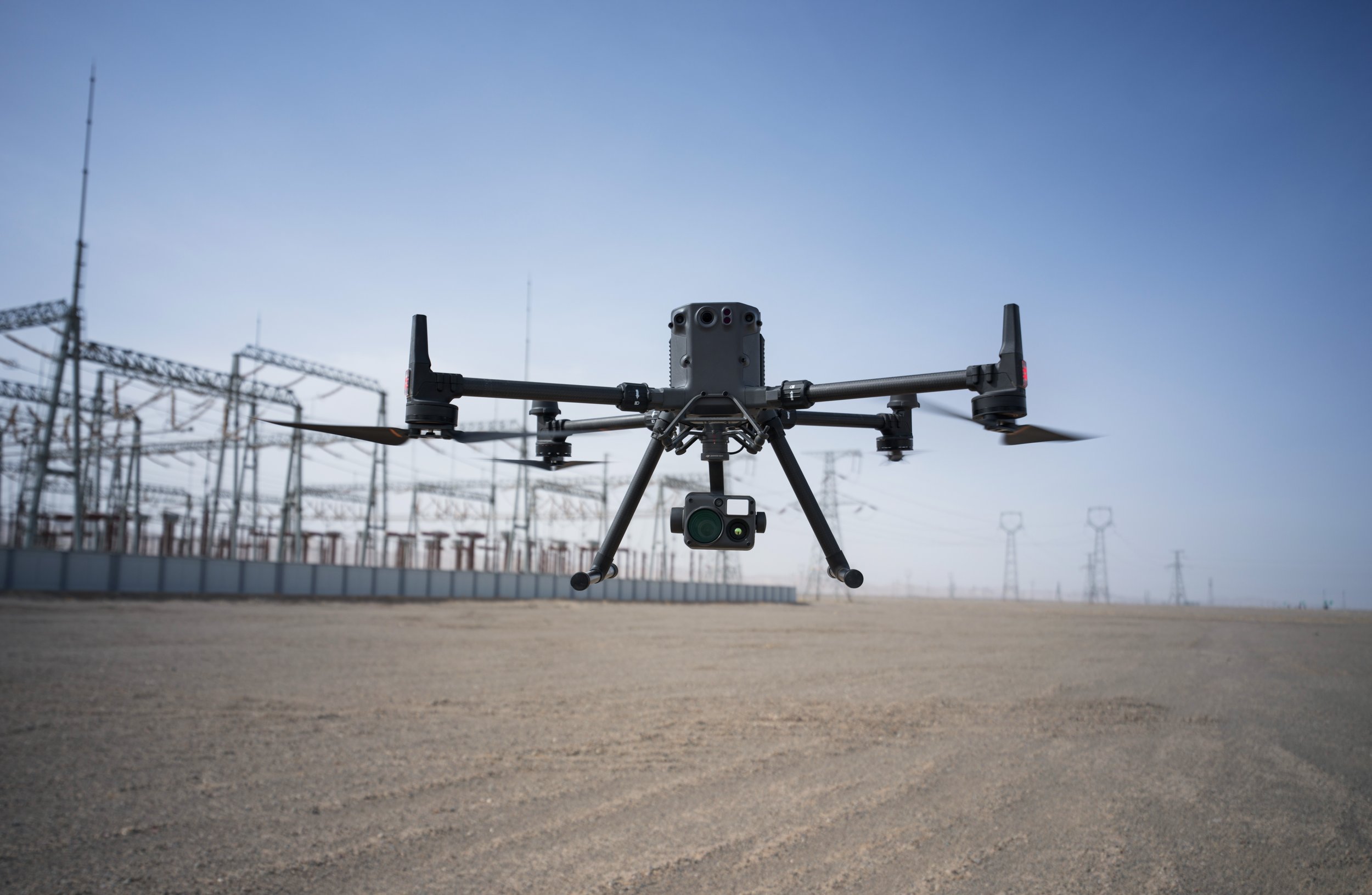
Empower Your Insights with DJI Thermal Drones
Thermal imaging drones are unmanned aerial vehicles (UAVs) or drones equipped with thermal cameras or infrared (IR) cameras. These specialised cameras capture thermal radiation emitted by objects and environments, allowing users to visualize temperature differences and thermal patterns.
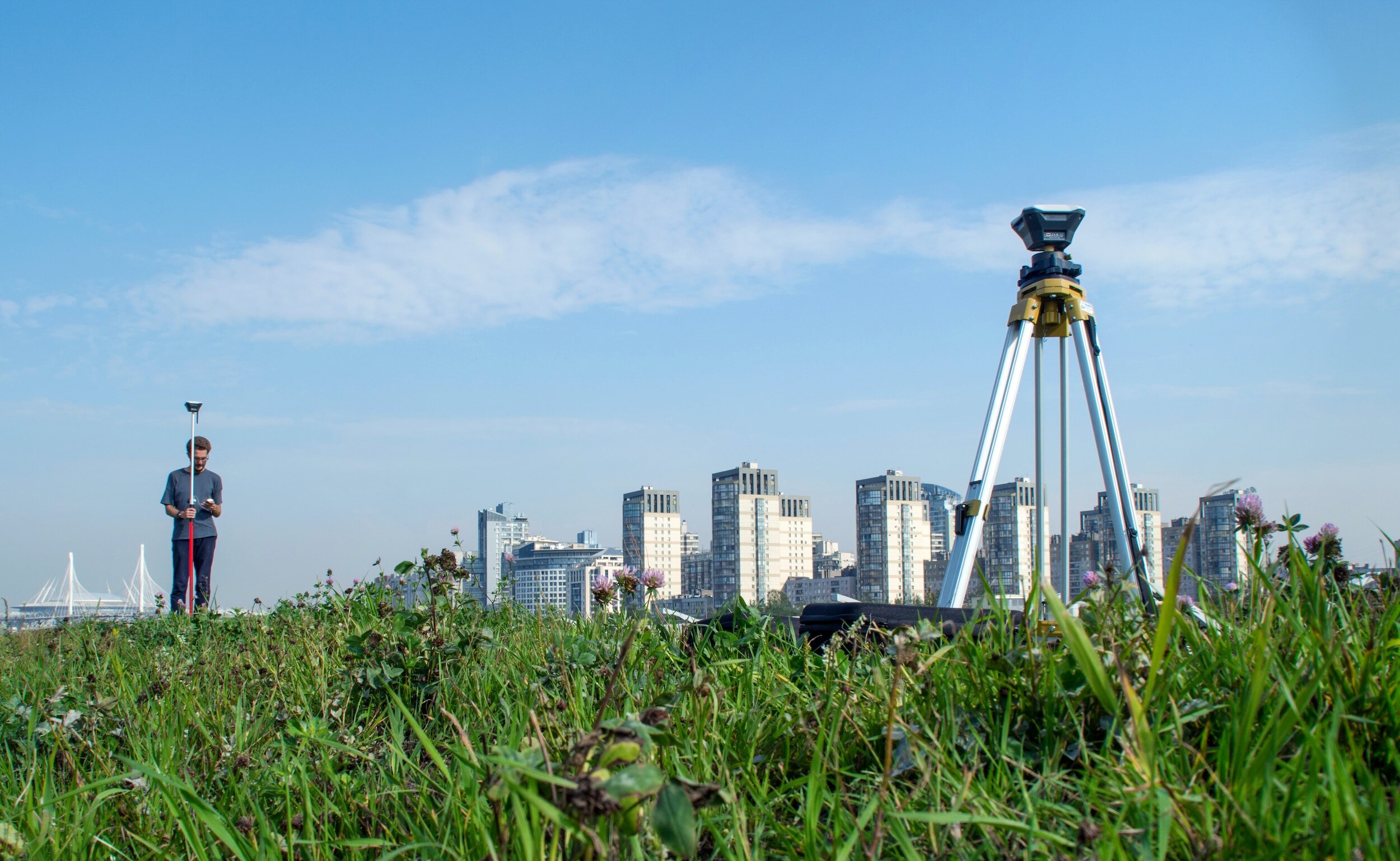
What Is Real-Time Kinematics (RTK) And How Does It Work?
RTK stands for "Real-Time Kinematic," and it's a satellite navigation technique used to enhance the precision of positioning data, primarily in applications like surveying, mapping, agriculture, construction, and geodesy. RTK is a type of differential GPS (Global Positioning System) technology that provides centimeter-level accuracy in real-time.
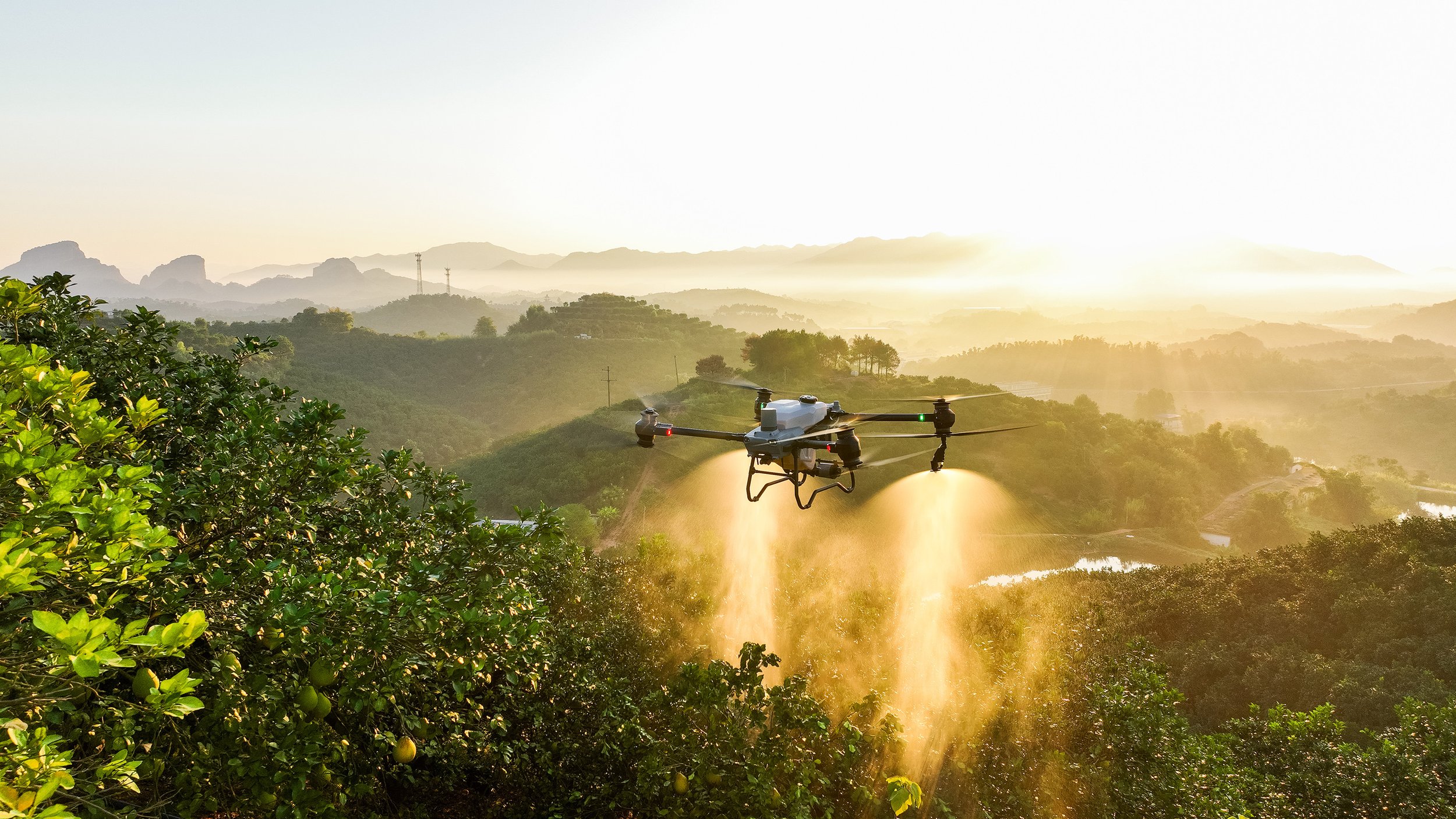
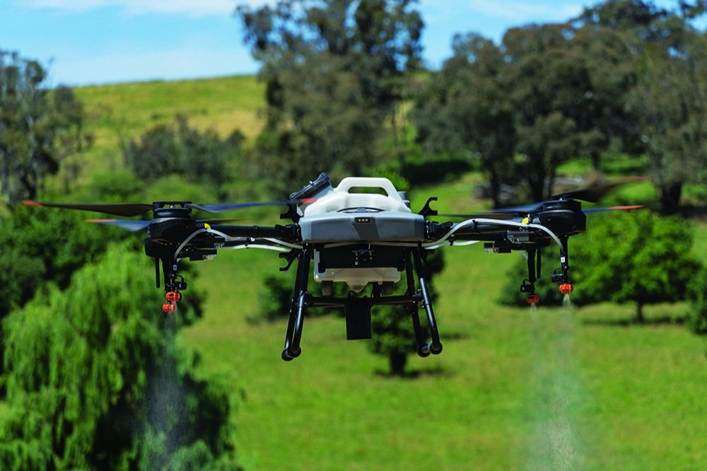
DJI Agricultural Drone Solutions
DJI agricultural drones include revolutionary technology to offer precise and efficient crop spraying and seed spreading capabilities. Knowing which solution can work best for you can be challenging to understand and hard to navigate. This article introduces the various DJI Agras drones available currently and how they compare to each other.
DJI Matrice 350 RTK vs DJI Matrice 300 RTK
How does the DJI Matrice 350 RTK compare to its predecessor? This article goes through the new features introduced with the M350 RTK, and a comparison between the two flagship drones from DJI.
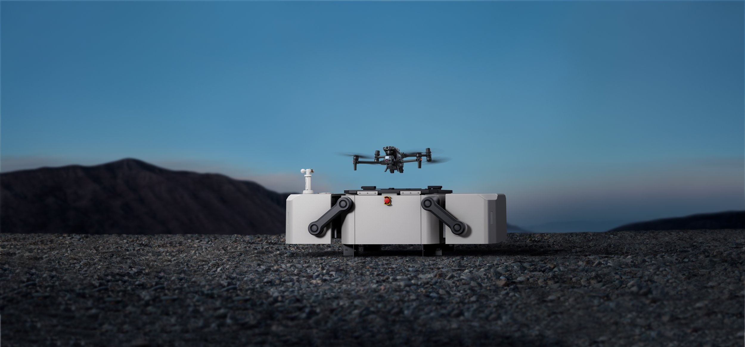
DJI Dock: Autonomous Remote Drone Operations
The DJI Dock is a rugged drone-in-a-box charging station that offers a new solution to better improve the autonomous capabilities of drone work. This article aims to demonstrate the potential of this technology.

DJI Mavic 3 Enterprise vs DJI Phantom 4 RTK
The DJI Mavic 3 Enterprise and the DJI Phantom 4 RTK are two of the most portable surveying drone solutions that exist in the market today. We have put together an article to see how the two drones compare in terms of features and capabilities.

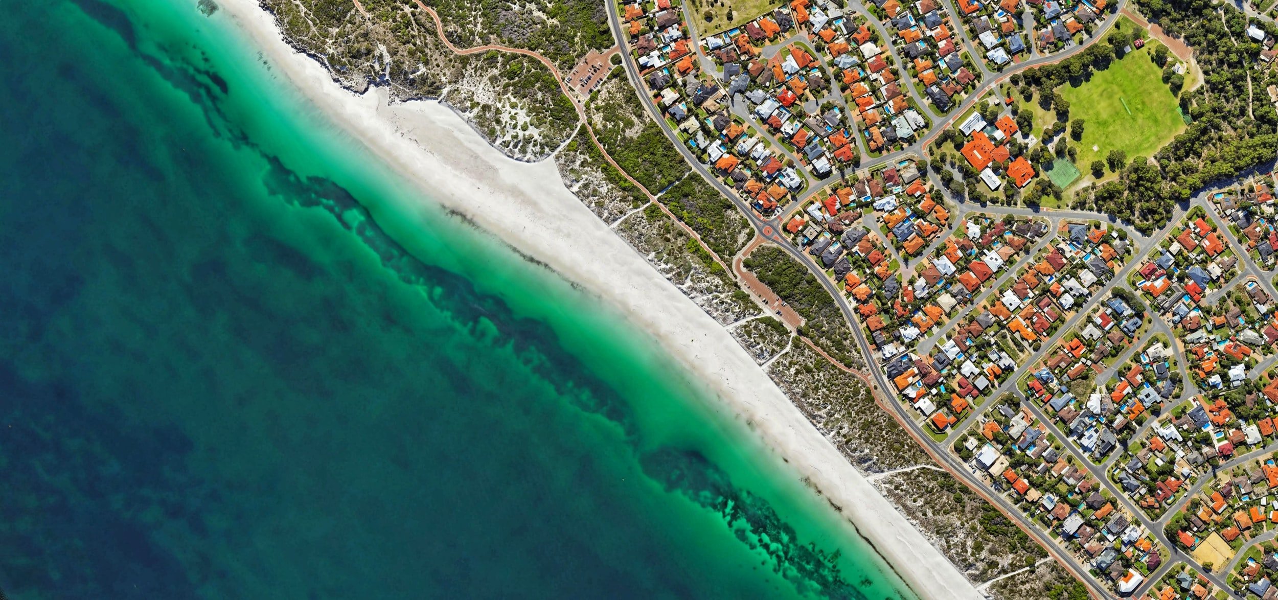
Photogrammetry Solutions
Discover the best drones for photogrammetry from Prisma Technologies. Equipped with everything you need to up your next map-making mission, our compact and reliable aerial photogrammetry drones are easy to use and suitable for several practical, real-world applications.

Spraying Spreading Solutions
Discover intuitive operation, effortless flight and the incredible efficiency of agricultural spray drones. Suitable for various agricultural applications, a drone for agricultural spraying can transform the time you spend sowing, managing and harvesting crops, controlling pests and weeds with better control and efficiency.

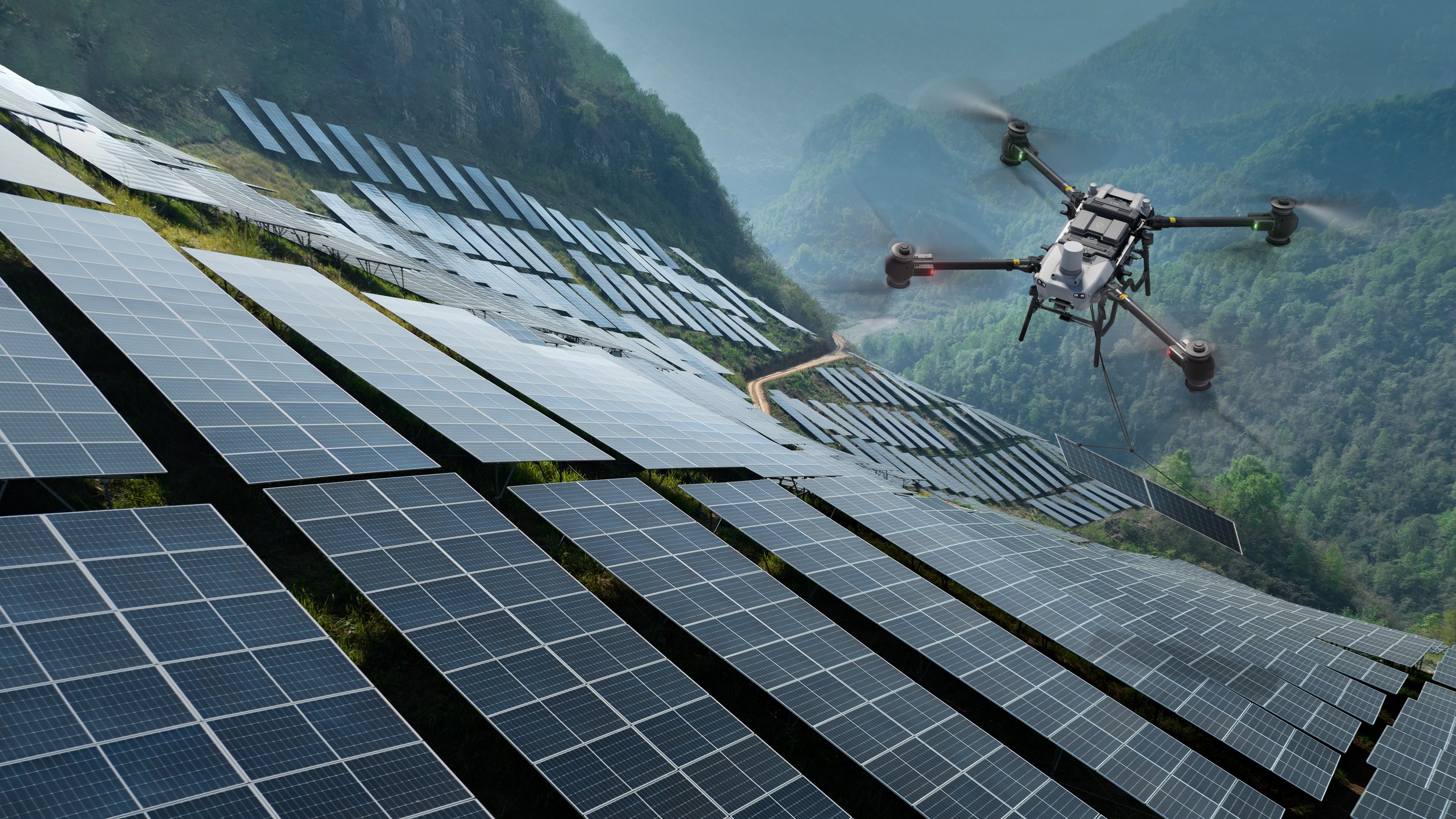
Asset Inspection & LiDAR Solutions
In the world of asset management and inspection, LiDAR drones are leading the way in improving accuracy and efficiency. LiDAR, or Light Detection And Ranging technology, emits pulsing light waves to give you a detailed 3D model from an aerial perspective. With the range of LiDAR asset inspection drones from Prisma Technologies, mapping and surveying large areas becomes a simple task with more accurate results.

Public Safety Solutions
In a variety of industries, unmanned technology like drones are becoming a valuable part of asset management and safety. When it comes to drones in public safety, Prisma Technologies has a superior range of easy to implement drones that are suitable for use in law enforcement, search and rescue operations, crowd control and surveillance.
Top 3 Uses of Drone Technology in Agriculture
The use of drones in agriculture is rapidly growing as they now offer an effective approach towards streamlining farm management, while allowing agronomists and farmers to gain effective insights into their crops, livestock, and farming assets.

Using Klau Geomatics PPK Software with DJI RTK Drones
This is a step-by-step guide showing how to use KlauPPK software with your DJI RTK drone.
Unlocking a GEO Zone on Your DJI Drone
This guide from Prisma shows you how to unlock a GEO zone on your DJI drone.
Creating an unlock request requires a few steps on your part, but the GEO system goes a long way to encourage newcomers, recreational users, and even commercial drone pilots to make smart, educated decisions about when and where to fly their drones.
The path to non-military use of drones started just 20 years ago in Australia, with the introduction of legislation covering the operation of crewless aerial vehicles (UAVs). Since then, drones have become smaller, more sophisticated and less expensive, broadening their appeal considerably. What was a niche technology just a few years ago has become a mainstream industry, with private and commercial sales rising rapidly.
At Prisma Technologies, we specialise in providing drone solutions and services to businesses and individuals across Australia. Whether you are interested in starting a commercial drone programme or using UAVs for leisure purposes, we can help you to get started. As part of our services to Australian drone users, we are pleased to be able to provide a selection of handy resources. If you are looking for a beginner’s guide to drones or a drone buying guide for rookies, you’ve come to the right place.
Find a drone beginner guide that’s perfect for your needs
If you would like to learn the basics of drone flying and find out more about the various imaging, measuring and monitoring technologies that can be used with private and commercial drones, please feel free to browse our collection of guides. We are actively collecting and putting together new guides — so if you cannot see one that meets your needs right now, don’t forget to bookmark this page and check back later. Once you find the perfect guide, it will be much easier to get ready for your future drone operations.
Which drone beginner guide should you start with?
New drone operators can learn many different skills, but before you get started, we recommend taking a little time to consider your goals. What will you be using drones for, and what are the most important skills you will need to master?
If, for example, you are planning to use drones to inspect crops or for other agricultural applications, you will want to learn how to use multispectral and thermal sensors and — more importantly — how to analyse the data they collect. If you want to start using drones in a law enforcement capacity, basic flying and camera operational skills are going to be at the top of your list.
While you are here, please feel free to browse our full selection of drone products and services. If you need any assistance or you would like us to prepare a quotation for a custom drone solution in Australia, you can contact us by phone or email, or by completing the enquiry form on our website. We look forward to helping you find a beginner’s guide to drones that answers all your questions and supplying you with a drone solution that meets your specific requirements.