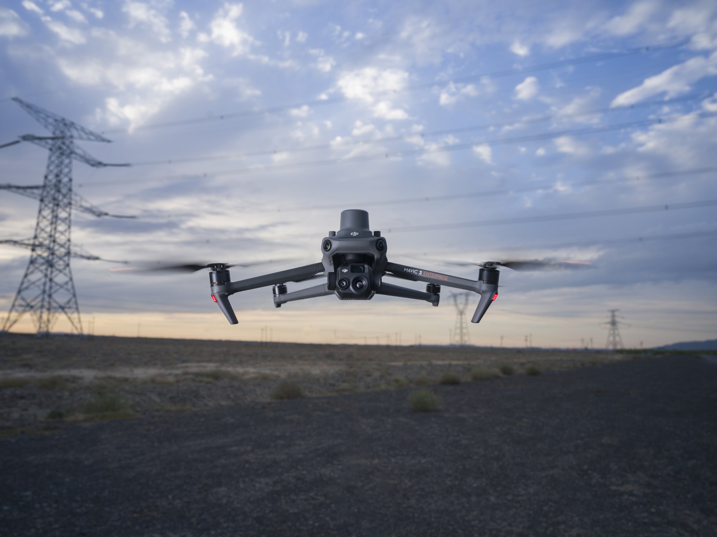
New Firmware Released For DJI Mavic 3E/3T
Firmware version 05.01.02.03
What’s New?
Added Real-Time Follow function, which can perform real-time follow mapping using the vision system of the aircraft to improve the operation efficiency.
Added High-Res Grid shooting function, providing both wide and close-up images.
Added support for DJI Pilot 2 to download online geoid files. By downloading open-source data from ASTER.
GDEM V3, the geoid database can be directly used to obtain DSM files in Terrain Follow.
Added SD card storage encryption function to ensure the secure use of media files. After enabling the security code on DJI Pilot 2, the security code set by the user is required to access the data stored on the SD card.
Added support for customized development of Payload SDK.
Added access to some flight control parameters, which can be customized on DJI Pilot 2.
Optimized basic flight functions: the aircraft's maximum altitude can be set to 60 m when GNSS is not available.
Fixed issue: recording conflict when the screen recording function of the remote controller and the speaker are turned on at the same time.
Added Smart Oblique function for Mavic 3E, which improves operation efficiency by planning two perpendicular s-shaped routes and shooting in three directions.
Improved mapping accuracy for Mavic 3E in low-light environments such as cloudy days or at night.
Added Infrared Image Super-Resolution function for Mavic 3T, which can capture clearer infrared images in low-light environments.
Notes:
Restart the aircraft and remote controller after the update is complete.
If the update fails, restart the aircraft, remote controller, and DJI Pilot 2 or DJI Assistant 2 (Enterprise Series), and retry.
Make sure the firmware of the aircraft and the remote controller, and DJI Pilot 2 are the latest versions. Otherwise, usage may be affected.
The offline firmware can be downloaded here.
Explore our DJI Mavic 3 Enterprise bundles here.

